Hole of Horcum and The Bridestones Walk
This is another one of our “Banker” walks…just like the walk around Roseberry Topping, we use it when we have a few hours to do a few miles but don’t want anything difficult but still want to see a few things along the way.
Despite coming 11th in the Rudest place names in Britain it’s relatively quiet apart from summer bank holidays. It’s close to Dalby Forest and there’s also a campsite just along from the car park.
Length: 11.3 Miles
Time: 3-4.5 hours depending on walking speed/breaks.
Start/Finish: Car park at the top of the Hole of Horcum (around £2 for all day parking) Grid reference SE 852 936
Refreshments: Horseshoe Inn Levisham, Cafe/Tea room in Lockton are both on route but there is also the Fox and Rabbit just along the road from Lockton.
Terrain: Paths and tracks, moorland, little bit of woodland and a little bit of road. Couple of small ascents and descents.
Things to look out for: Some Iron Age Dykes and ponds, The Bridesstone rocks, the huge Hole of Horcum, tiny ponies near Lockton and Blakey Topping.

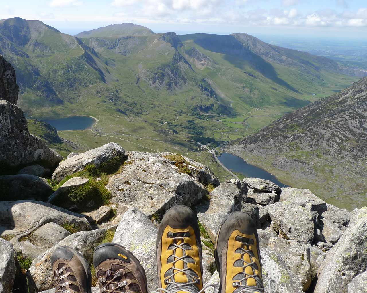
The Hole of Horcum
The Route
Leave the carpark and carefully cross the A169 to reach a path just above the hole, turn right and follow this round to reach a gate just above the sharp bend in the road. Go through the gate (or over the style if the gate is locked).
Follow the track to the left as it follows Hallows Dyke, the path runs round the edge above the hole, after just over a mile you will reach Seavy pond. Keep following the track for another mile or so until you reach the cross road at Dundale Pond.
Here you have a couple of options, if you want to visit the pub in Levisham then take the path straight ahead up the small hill onto the track and Limpsey Gate Lane which will bring you out at the pub. Once finished at the Pub simply follow the road past the phone box until it starts to wind down hill, join the path on your left and follow it across mill bank road to Lockton.
If you don’t want to visit the pub, at Dundale Griff Take the left hand track down the gully and follow the beck along Levisham Brow.
Climb the steep Mill Bank Road up into Lockton (or you can go through the woods but it can be really muddy and slippy in the wet)
Once in Lockton follow the road through past the Youth hostel and Tea room, you will shortly pass a cemetry, we took a slight detour here so Emily could have a look at the ponies in the field on the left. Before re joining the road and crossing over the A169.

Crossroads
Follow the marked footpath down into Thwaite wood until you reach Low Pasture Farm Villa, follow the track past the villa until you reach Low Pasture Farm. We were lucky enough to see a badger running about near here which took us buy surprise as it was bright sunshine.
Follow the path down across the beck near Low Staindale, Keep following the path along the track over Dove Dale, and up Needle Point, this will take you to the High Bridestones, after having a look at the stones, follow the path that runs between the Low Bridestones that heads towards the wooded area.
Turn left at the woods and follow the path keeping the trees on your right and the moorland on your left. You will soon reach the Old Wife’s way and it’s simply a case of following this until you reach the car park where you started.
If you like the sound of this you can download the GPX file (needs unzipping) here and view the rest of my photos on Flickr here…although they are from a couple of years back not much has changed as we did the walk last week.

Fields along the way


Follow Me!